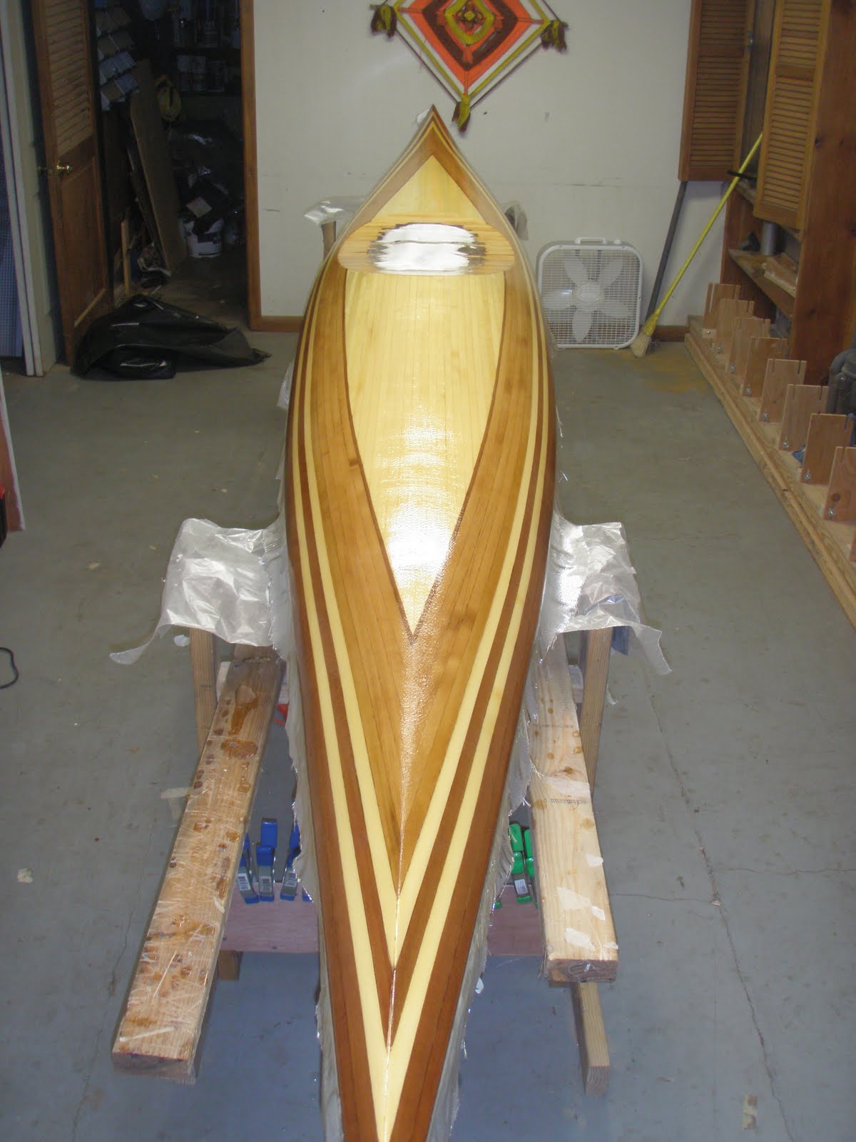
Well, we made it. Let me reflect a bit on our trip. First of all Dave and I are thankful for our wives Debra & Cheryl who give us the freedom to do crazy things like this and for their love & support. We left home Wednesday morning, Sept. 22 on our way to Greenville, NC to stay at the home of Charles Gaston & his mom. Charles is a former member and deacon at Madison Ave. and moved down to stay with him mom last year. We enjoyed their hosptality and seeing a bit of Greenville which is home to East Carolina University.
 We arrived at Cedar Island by noon on Thursday with plenty of time to go through our gear check and captains meeting at 4:00 p.m. We camped in the Driftwood campground for the night and even took an evening paddle to scout out the coastline for our return and try to find the "cuts" from the back bay to the ocean.
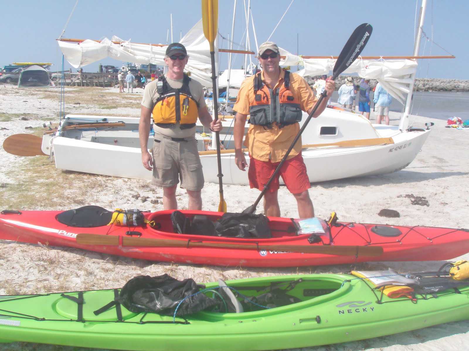 Friday morning began with a beautiful sunrise. The race began at 7:30 a.m. on very quiet and flat water. This was great for the paddlers but meant that most of the sailboats had to paddle or row. Some rowed from 7:30 a.m. until 3:30 p.m. when the wind finally picked up on the Neuse River. The catamaran below sailed by "SewSew" aka Randy Smyth somehow caught just enough wind and took off and actually covered the entire 100 miles in 15 hours and 25 minutes. Amazing.
As we started off, we passed several pods of dolphins and throughout the day enjoyed the beauty of God's creation in the salt marsh, bays, islands, ospreys & egrets fishing, and sun shining. I even had a shrimp jump right in my kayak once. All I needed was a bit of cocktail sauce. We were challenged with paddling into a headwind and pushing ourselves to the limits of our endurance. We learned to stop and rest, eat and drink as much as we needed to continue on.

We slept from 1 am to 6 am and were back on the water by 7 am headed for the checkpoint in Beaufort. Here's Dave standing in the salt marsh where we stashed our kayaks for the night and slept just above it on a grassy road above an old boat slip. This is part of "stealth" camping to leave no trace and stay on the down low.
 We checked in in Beaufort around 9:00 a.m. and after some coffee, oatmeal and more power bars continued down Taylor Creek. We had the tide right and with little effort were able to move at 4-5 mph for that stretch. Across this creek - which is more like a big channel - is the Rachel Carson Preserve. Rachel Carson wrote Silent Spring in 1962 that is often credited with helping to launch the environmental movement in our country. On the preserve wild horses grace peacefully and people are the guests. We took the outside route around Harkers Island which put us in a lot of wind and surfing the waves. Fun, but challenging. We made it to Brown's Island for lunch and a rest for the final push north along Core Sound. When I was planning the route, I thought it might be nice to paddle across Core Sound to camp on the beach by the ocean. In reality a 2 mile paddle across the wind tossed sound was the last thing we would do. At this point we just wanted to keep going toward the finish the shortest way possible.
 Saturday afternoon we had a south and southwest wind mostly at our back but also creating 2-3 foot waves. I kept getting better at surfing them but also kept getting blown sideways in which case they crashed over you and hopefully the skirt kept out most of the water. In theory at least. By 8:00 pm. we were out of light and not comfortable continuing in the dark in those waves. Dave spotted a trailer campground and we pulled into their slip, paid our fee, cooked dinner and went to sleep early. We got up at 5:00 am. and were on the water by 6 am. with about 12 miles to go. Here is the Sunday morning Sunrise as I worshiped the Lord singing "Praise to the Lord, the Almighty the King of Creation. Oh my soul praise him for he is my strengh and salvation.
 We plotted our course to take the shortest route to cut through to the finish line only to get up up to the end of the channel and realize it was the wrong one. There was about 50 yards of beach between us and the ocean. On our track if you zoom in you can see our little portage to make it through. We were welcomed back on the water by a few Watertribe folk sailing & paddling and a welcoming party of 20 on the beach. We came in last but as I reminded Dave... Jesus said "the last shall be first." :) Lessons learned....Our character is developed by persevering in the midst of difficulty and struggles. When you feel like you can't go on, stop and rest, get something to eat, sleep and start over on a new day. It was striking that at the captains meeting they reminded everyone to do this before they quit. When Elijah was ready to quit as a prophet of Israel, running away from Queen Jezebel who was trying to kill him. The Lord sent him an angel in the desert to feed him and tell him to sleep. It was only after that he could go on. In ministry as well as life God created all of us to Work, Rest and Play. If we get those out of balance our life will be out of balance. This race was my play.
Map of our entire route (for a larger version, click HERE)